
Building or Rebuilding on Cape Cod? Get Your FEMA Elevation Certificate Early
Building or Rebuilding on Cape Cod? Get Your FEMA Elevation Certificate Early
Don’t Let Floodplain Regulations Delay Your Coastal Project
If you’re planning new construction, an addition, or an insurance adjustment in Coastal Massachusetts, one document can make or break your timeline — the FEMA Elevation Certificate.
At Prime Engineering, our licensed surveyors and engineers specialize in floodplain surveys and FEMA Elevation Certificates across Cape Cod and Coastal Massachusetts, including Barnstable, Yarmouth, and Falmouth. We help homeowners, contractors, and insurance professionals confirm accurate flood elevations for permitting and insurance rating.
What Is a FEMA Elevation Certificate?
A FEMA Elevation Certificate is a formal document that records a property’s elevation relative to the Base Flood Elevation (BFE) established by FEMA. It’s used by:
-
Local building departments to verify code compliance
-
Insurance providers to determine flood insurance rates
-
Engineers and architects to design structures safely above flood levels
The certificate includes field-verified elevations, building diagrams, and benchmark references certified by a Licensed Land Surveyor.
When You Need One
You’ll typically need a FEMA Elevation Certificate if you’re:
-
Building new construction in a FEMA-designated flood zone
-
Adding an addition or garage below the floodplain elevation
-
Changing insurance coverage or appealing a flood zone designation
-
Rebuilding after storm damage or raising a structure above flood levels
By obtaining your certificate early, you’ll avoid permitting delays and ensure your design complies with both local building codes and FEMA floodplain standards.
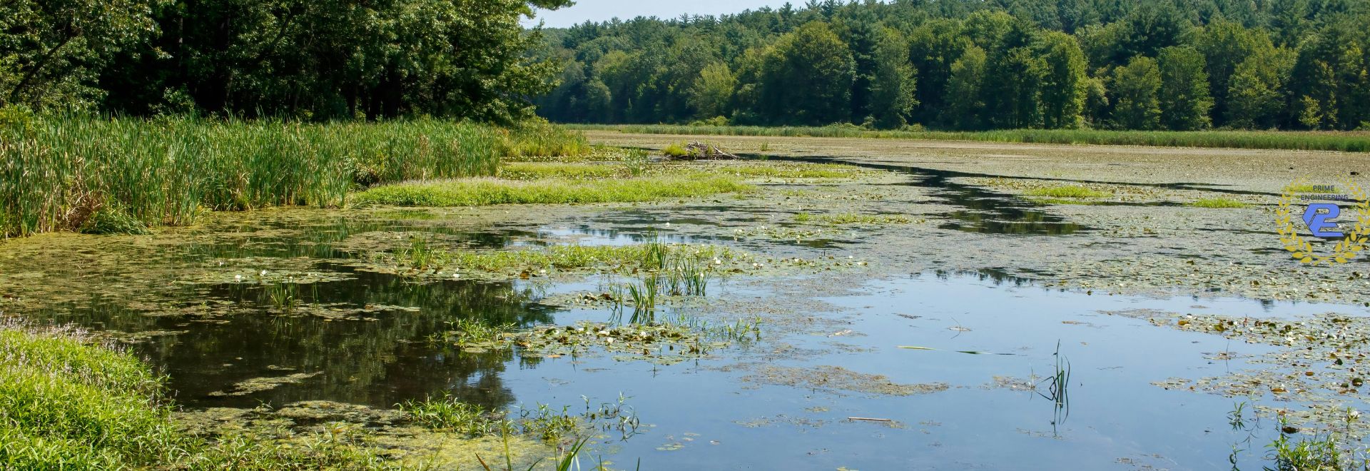
Coastal Massachusetts Challenges
Coastal properties in Barnstable, Yarmouth, and Falmouth face complex conditions — tidal data, shifting topography, and regulatory overlaps between FEMA, MassDEP, and local Conservation Commissions.
Prime Engineering understands these local nuances, including:
-
FEMA Flood Insurance Rate Map (FIRM) interpretation
-
Coastal AE and VE zone requirements
-
Elevation benchmarks and vertical datums (NAVD 88)
-
Coordination with conservation filings and permitting
Our team delivers accurate, code-ready elevation data to keep your project on schedule and in compliance.
Why Choose Prime Engineering for Floodplain Surveys
-
Licensed Land Surveyors experienced with FEMA and local regulations
-
Precision Equipment: GNSS/RTK and total station field control
-
Fast Turnaround: Most certificates delivered within days of field work
-
Local Expertise: Deep understanding of Cape Cod’s permitting and conservation process
-
Integrated Services: Boundary, topographic, and as-built surveys all under one roof
“Prime Engineering completed our FEMA Elevation Certificate quickly and coordinated with the town’s floodplain manager — we were cleared to build within a week.” — Homeowner, Yarmouth MA
Related Services
Get Your FEMA Elevation Certificate in Coastal Massachusetts
Avoid delays and ensure compliance with floodplain regulations. Prime Engineering provides fast, professional FEMA Elevation Certificates and floodplain surveys across Cape Cod and Coastal Massachusetts.
📍 Prime Engineering Inc
350 Bedford St #2, Lakeville, MA 02347
📞 508-947-0050
Request your Cape Cod FEMA Elevation Certificate today — and build with confidence above the flood line.